Geology & Geophysics
News
June 11, 2026
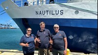
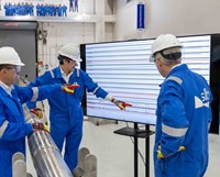
KONGSBERG and the Ocean Exploration Trust have launched a deepwater mapping expedition in the Central Pacific using the new EM 304 MKII multibeam echo sounder, aimed at improving seabed survey efficiency and advancing offshore mapping technology.

News
June 11, 2026
STRYDE has launched its Halo family of seismic nodes, introducing new options for wireless quality control, enhanced timing synchronization and high-density land seismic acquisition across challenging survey environments.
News
June 08, 2026
Sercel has completed the first commercial sale of its Accel land nodal seismic acquisition system, with 18,000 drop nodes deployed by Explor on a large-scale seismic survey in the United States, marking the technology's first field deployment at scale.
News
June 01, 2026
ROGII has released StarSteer 2026.1, introducing enhanced geosteering workflows, advanced well attribute management and expanded 3D geomodeling capabilities designed to improve subsurface interpretation and well planning.

News
May 29, 2026
Smart Seismic Solutions (S3) has purchased a 20,000-node STRYDE seismic acquisition system, expanding its onshore survey capabilities following large-scale deployments across Europe for carbon storage and geothermal exploration projects.
Article
May
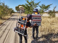
Polaris Seismic International, working with STRYDE, is applying ultra-lightweight nodal systems to improve survey efficiency, reduce crew size and lower environmental impact in remote exploration environments.
News
May 07, 2026
SunPetro has launched India’s first 3C MEMS nodal seismic survey using Sercel WiNG technology, supporting high-resolution reservoir imaging and 4D monitoring in Gujarat.
News
April 28, 2026
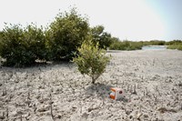
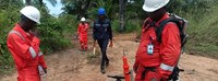
Geolander has launched a high-density nodal seismic survey in Angola using STRYDE technology to support CO₂ storage evaluation and reduce subsurface uncertainty.
News
April 28, 2026
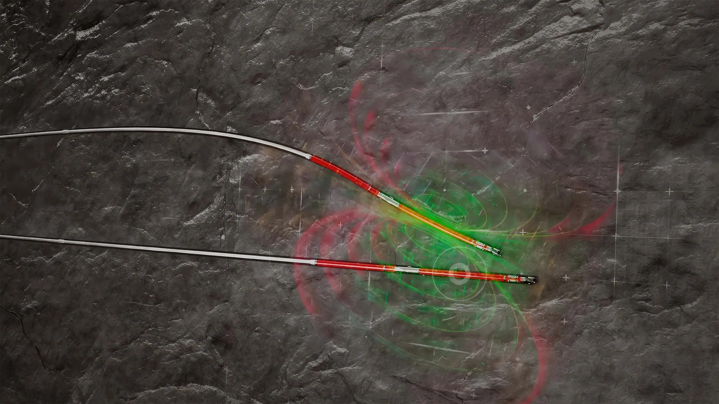
SLB has introduced AlphaSight to expand real-time subsurface insight, supporting more accurate geosteering and reservoir navigation.
Article
April
New advances in intelligent imaging-while-drilling eliminate the traditional tradeoff between drilling speed and subsurface insight. By delivering decision-quality images in real time and integrating multiple measurement streams, operators can reduce uncertainty, accelerate decisions and protect long-term well value.
News
April 20, 2026
TGS has secured a three-year extension for its ocean bottom node (OBN) seismic acquisition contract in the Gulf of America/Mexico, supporting ongoing offshore exploration and development activity.
News
April 17, 2026
Moveout Data has launched Metaseis, a seismic data management software platform designed to streamline processing, improve data accessibility and support AI-driven analytics in upstream workflows.
News
April 14, 2026
EIG has launched a new geothermal investment fund to support mid-stage project development in the U.S., aiming to accelerate next-generation geothermal power and subsurface energy growth.

News
March 24, 2026
Expro will deliver geothermal well testing services for Vulcan Energy’s Lionheart project in Germany, supporting reservoir evaluation and lithium extraction as Europe advances low-carbon energy and critical minerals development.
Article
March
Superhot rock geothermal is one of the most promising frontiers in the global energy transition, with the potential to produce significantly more power per well and allow geothermal energy to scale to new heights, Today, the 200°C temperature barrier in directional drilling has finally been broken, an engineering challenge that the industry has pursued for more than 25 years.

News
March 20, 2026
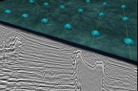
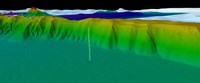
A new high-resolution offshore seismic dataset covering 7,300+ km in Equatorial Guinea has been released, leveraging advanced PSDM and FWI imaging to support exploration and de-risk prospects ahead of the EG Ronda 2026 licensing round.

News
March 11, 2026
Guyana is advancing a 25,000-sq-km offshore multi-client seismic survey supported by Viridien to improve subsurface data, de-risk exploration and support future licensing rounds in the Guyana basin.
News
March 02, 2026
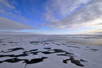
The U.S. Bureau of Ocean Energy Management (BOEM) has released five legacy 3D seismic survey datasets covering portions of the Beaufort Sea, expanding public access to offshore Arctic geologic data that could support future exploration and energy planning in Alaska’s Outer Continental Shelf (OCS).
News
February 25, 2026
Halliburton has launched the RangeStar geothermal well spacing and intercept service, a magnetic ranging solution designed to improve well placement accuracy, reduce decision time and support automation in complex geothermal drilling environments.
News
February 25, 2026
Hephae Energy Technology has appointed industry veteran Andy Bruce as president to support commercial deployment of its ultra-high-temperature geothermal drilling and robotics technology, designed to enable next-generation superhot rock geothermal development worldwide.
News
February 16, 2026
DUG and Searcher Seismic have signed a multi-client agreement to reprocess legacy 3D seismic data offshore East Sarawak, Malaysia, creating a new dataset to support exploration and development across the region.

